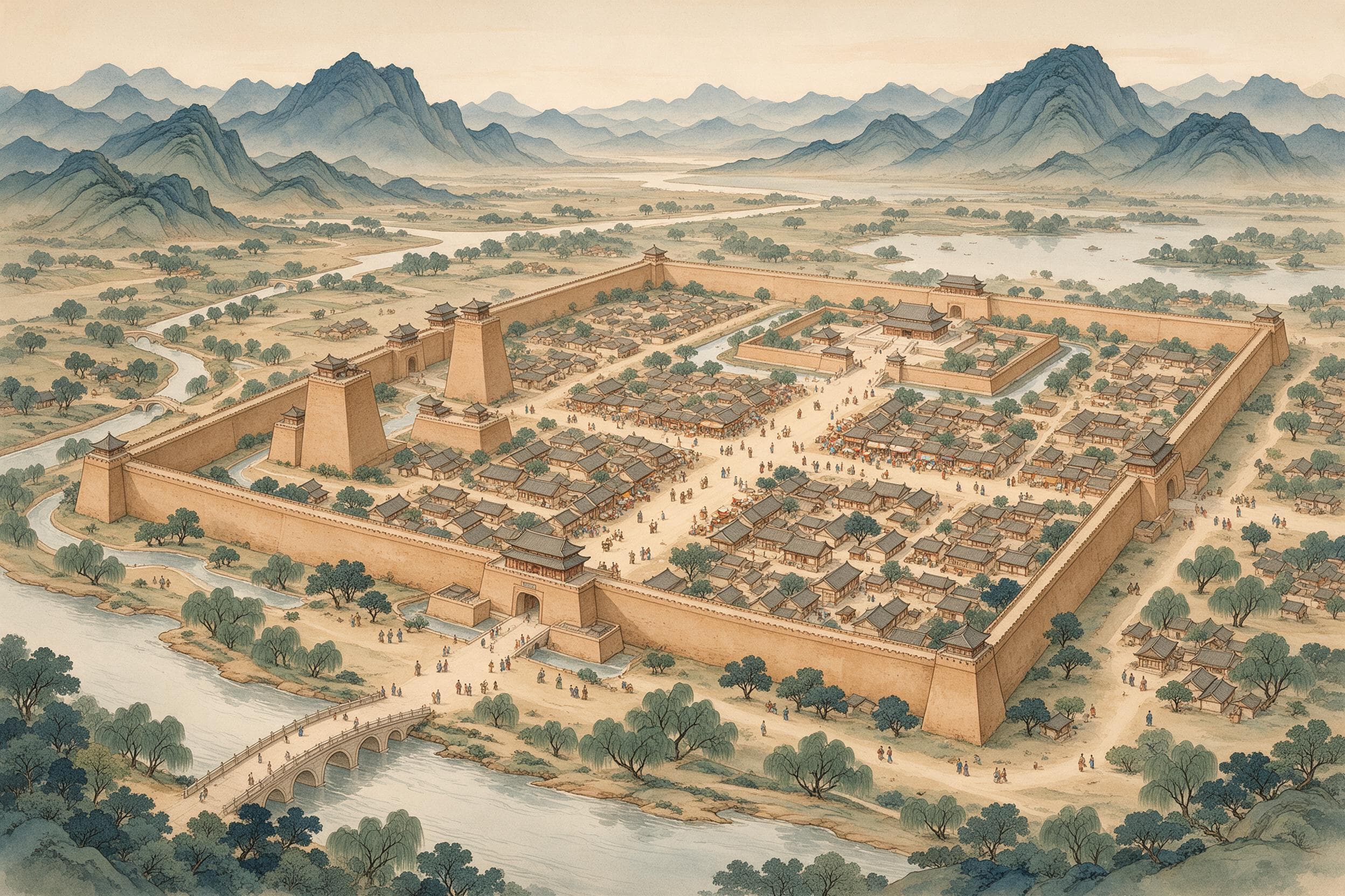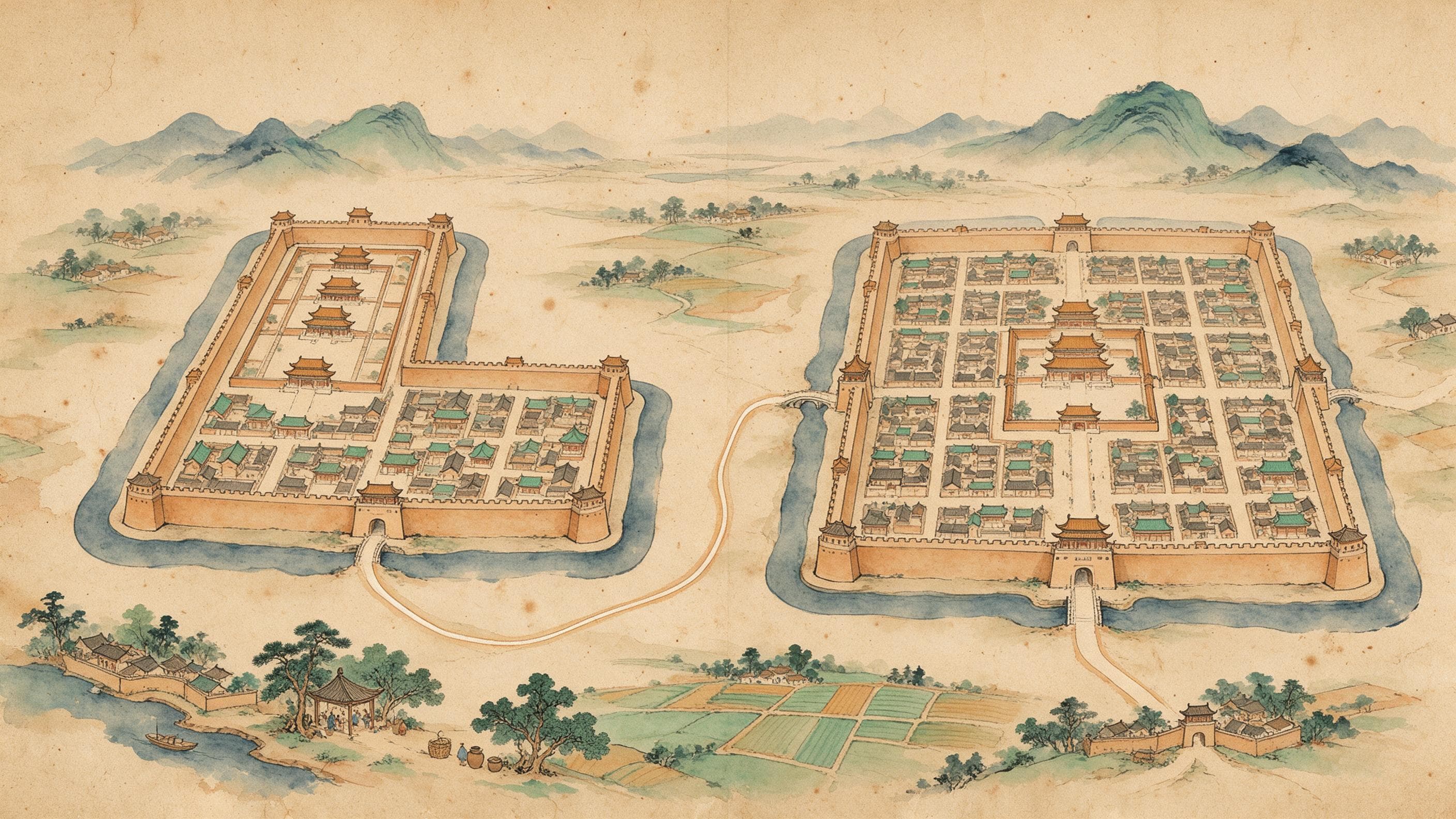
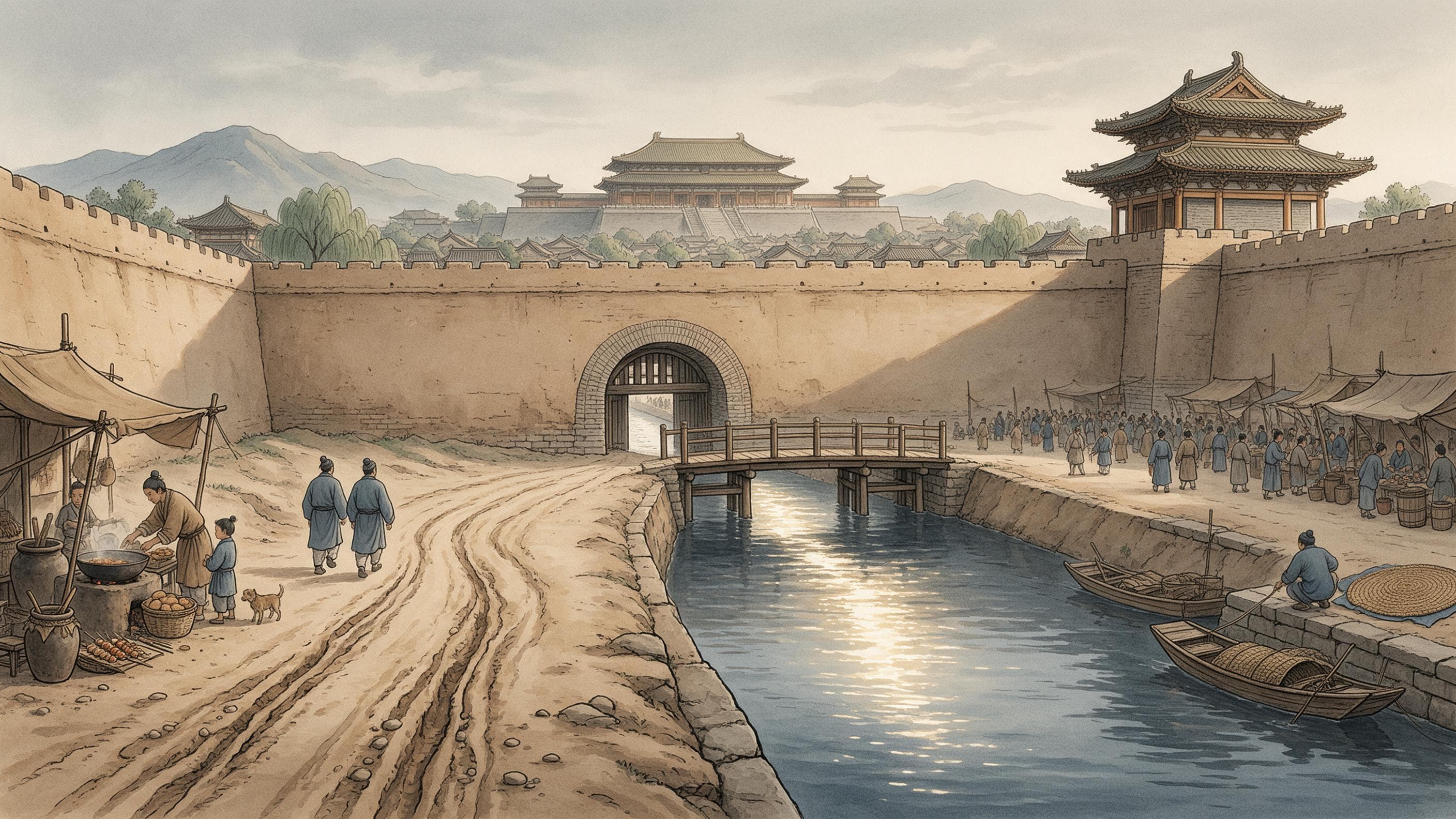
In front of Hanyuan Hall, the throne hall of the Tang palace complex called Daming Palace, a trench runs east to west 130 metres south of the lower terrace. Archaeologists traced more than 400 metres: 3.65 to 4.0 metres wide at the top, about 1.6 metres deep from the Tang ground surface, straight-sided, brick-revetted in places, its flat bottom silted grey-black. The silt is shallow at the east end and deep at the west, and its ripples lean one way. This water ran from east to west.
The channel before the hall
Three timber bridges crossed it. The middle one faced the hall's centre, 17 metres by 4.3, its post-holes in three groups and seven rows; the outer two, 128 and 129 metres off, faced the court halls. South of the channel ran a road 300 metres long and 15 wide, rammed 15 to 32 centimetres thick, rutted; a path of polished bricks, 1.1 metres wide, led to the western bridge. The fill held tiles, shells, coins, iron nails, an iron sword, and bricks stamped with broken phrases: '...official brick', 'Anmen...', 'Tianxuan...'.
The excavators, a team working on the imperial approach road, identify it as the Longshou Canal, which fed Daming Palace. Their case is positional: a Qing gazetteer describes a branch turning west at the city's north-east corner, entering the park as Longshou Pool and passing beneath the palace's dismount bridge, and this channel fits. So the outer bridges are read as where officials dismounted, the middle as the emperor's. Nothing in the silt names the canal. The same team dated a nearby channel, found in the 1950s and long labelled Longshou, to after the Ming.
Three canals, three entry points
Cheng Dachang, a Southern Song collector of old topographies, opens with the line later writers kept quoting: 'The Tang led water into the city by three canals.' Longshou drew on the Chan River south-east of the city, ran to Changle Slope and split: one branch north into the park, the other through Tonghua Gate and Xingqing Palace into the Imperial City and Taiji Palace. Yong'an drew on the Jiao River, entering at the west street of Da'an Ward, past the West Market, and on into the Wei inside the park. Qingming came in at the same ward's east street and reached Taiji Palace through the Imperial City.
Longshou is the oldest and best described. A lost Tang route book quoted by Cheng dates it to 583, the year the Sui moved into its new capital; its weir lay at Matou Weir, fifteen li east of the county seat, and the water crossed Changle Slope — a name the Sui founder chose because the old one, Chan Slope, sounded like 'rebel'. Daming Palace was different: built in 662 on Longshou Ridge because the old palace was low and damp, it stood above the canal, and Cheng says water could not be led up. The Qing gazetteer has the leftover water passing under the palace's dismount bridge all the same. The trench lies between those two statements.
Yong'an is recorded twice: Song Minqiu gives 583 too and traces it past the West Market into the park. So water reached the market. What the market did with it, and who if anyone paid, no source says. Qingming is where the record breaks: both Song accounts give entry and destination, neither names its river. Later gazetteers offer the Yu; the Tang sources do not, and it is left unnamed here.
The name itself is a trap. The Han Longshou Canal was dug for Emperor Wu at Shangyan Mountain in Tongzhou, north of the Wei, after workmen dug up what was taken for a dragon's head; the Tang capital lay south of the river, so the two cannot be one. 'To call the Chan canal Longshou,' Cheng writes, 'is a mistake.' The Tang canal took its name from the ridge by its weir, where Daming Palace was later built.
Did the water reach the wards?
Cheng's widest statement about use comes in his note on the Chan: dammed outside the wall at Matou Weir and led in as far as the counties of Wannian and Chang'an, the water served 'the wards and lanes, the palace precincts and the parks'. That sentence is the only warrant for saying canal water reached ordinary neighbourhoods, and it speaks of use, not quantity: no share, volume, ward list or water rate survives. The wards had wells too; the courtyards excavated in Buzheng Ward contained them, with jars and clay drains.
Who was responsible for the water
In the Tang Six Codes of 738, the director of the Waterways Bureau 'has charge of the orders and prohibitions for the empire's rivers, streams, ponds and pools, to open ditches and channels and to dam or release canals.' Then the rules: where water serves irrigation, watermills may not compete; from late summer to mid-spring sluice gates stay shut and only surplus water may be drawn; irrigation may not flood houses or cut graves; in mid-spring the ditches are cleared and embankments raised, finished by the first month of winter; storm damage is repaired without waiting. And the order of taking: 'water is used beginning from below' — the lowest land first.
None of this is a record of Chang'an. The code governs the empire; it does not say which office cleaned which canal in the capital, and no order or dispute over a city canal survives. The Directorate of Waterways kept its office in the Imperial City, one of four quartered there, but a desk is not a record of work on the channel before Hanyuan Hall.
The other water: a canal for fuel
Not all the water let into Chang'an was clean, or meant for people. In 743 the mayor Han Chaozong brought the Wei in through Jinguang Gate, the middle gate of the west wall, and made a pool in the West Market to store timber. In 766 the mayor Li Gan cut a transport canal from a southern valley mouth to Jingfeng and Yanxi Gates, the two gates on the Imperial City's east side, and on into the parks 'to transport firewood and charcoal'. This is the Cao Canal: muddy Wei water, timber, fuel, not the same water as the three clear canals.
South-east of the city the same logic made a lake. The Huang Canal came from beyond the walls and could be led through the city, so the Sui enclosed the ground outside the south-east corner and brought the water in as Furong Pool. The corner had been left out of the grid: Yuwen Kai, who laid out the Sui capital, judged the ground too high for ward blocks and had it dug into a pool. In Tang times it was seven li around and thirty qing, and on the third day of the third month the city went out to it.
What the record lacks is as exact as what it holds. No source gives the length of any canal inside the walls, its discharge, its gradient, the men who dug it, or how long the water took. There is no water price. The archaeology covers one stretch before one hall: 400 metres of channel, three bridge foundations, a road, a footpath. Enough to say how wide a palace canal was and which way it ran; not enough to describe how Chang'an was supplied. The excavation is known from a newspaper report, not a published site report.
Sources & further reading
- 程大昌《雍录》卷六「唐都城导水」「龙首渠」「浐水」「唐曲江」(南宋;维基文库) — Three Tang canals and their entry points; the Chan dammed at Matou Weir and used 'throughout the wards, palace precincts and parks'; Longshou Canal opened 583, weir 15 li east of Wannian; Cheng's correction that the Han Longshou Canal lay at Shangyan Mountain in Tongzhou; Huang Canal into Furong Pool, Qujiang seven li around and thirty qing. This Wikisource juan prints 滻 as 滬 in several passages — a look-alike slip; quoted lines avoid the variant.
- 宋敏求《长安志》卷十二(北宋;四库全书本,维基文库) — Yong'an Canal opened 583, drawing the Jiao River past the West Market into the park; Qingming Canal entering from Wannian County with no river named; Longshou Canal leaving the county to enter the Wei; the Cao Canal: 743 Wei water through Jinguang Gate and a timber pool in the West Market, 766 Li Gan's canal to Jingfeng and Yanxi Gates 'to transport firewood and charcoal'.
- 《唐六典》卷七·尚书工部·水部郎中条(唐官修,开元二十六年成书;维基文库) — Duties of the Waterways Bureau; watermills barred from competing with irrigation; sluice gates shut from late summer to mid-spring; ditches cleared in mid-spring and works finished by early winter; 'water is used beginning from below'; the capital's gate names, and the Directorate of Waterways among the four directorates in the Imperial City.
- 〈考古发现大明宫龙首渠〉(陕西历史博物馆网站转载,原载《西安晚报》,记者呼延思正) — The only measured stretch: 400-plus metres of Tang channel 130 m south of Hanyuan Hall, 3.65–4.0 m wide, about 1.6 m deep, water running east to west; three timber bridge foundations, the middle one 17 by 4.3 m, the outer two 128 and 129 m away; a 300 by 15 m road with ruts and an early brick path 1.1 m wide; stamped brick fragments. The excavators identify it as the Longshou Canal; the identification is theirs, not an inscription.