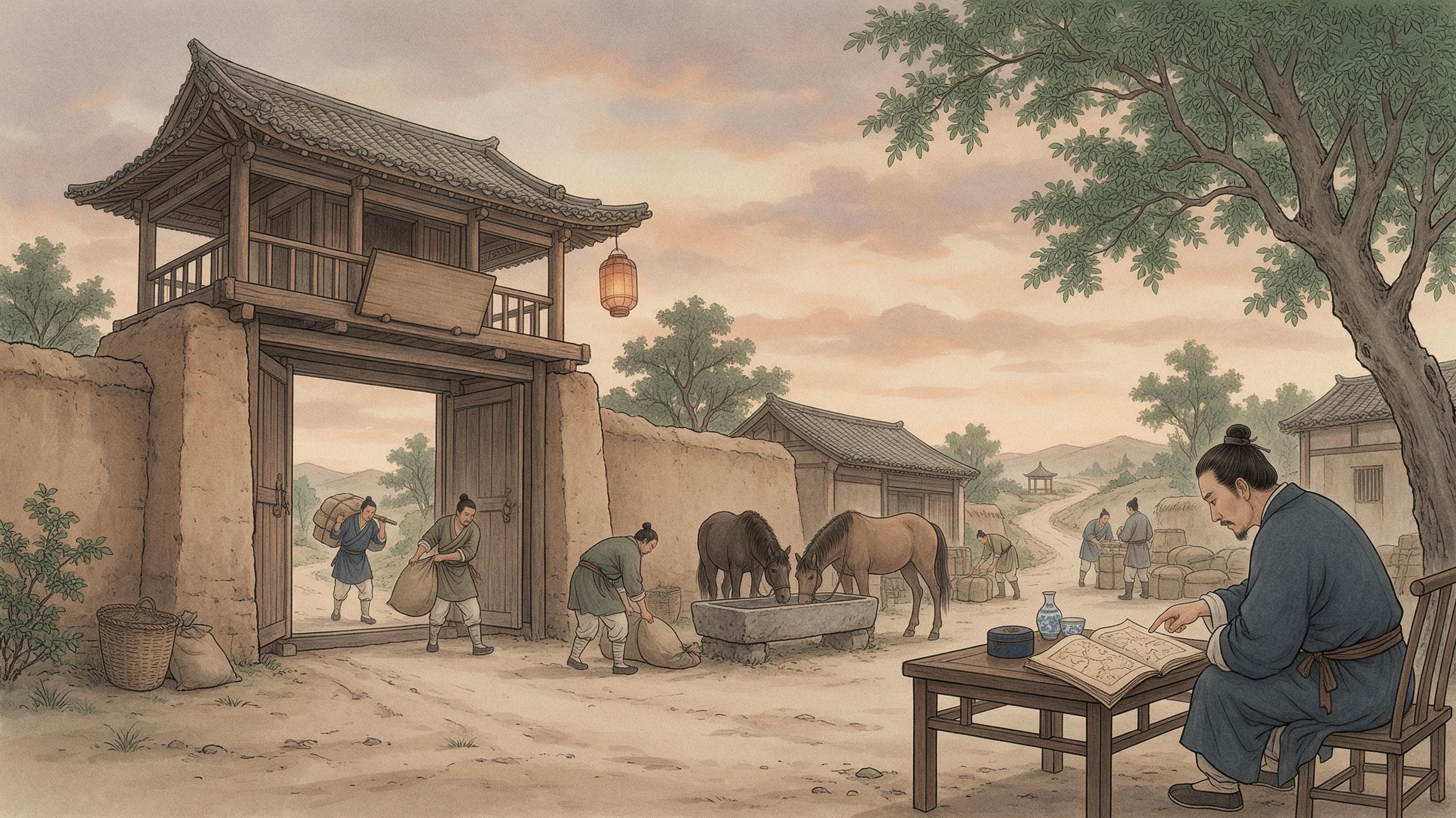
The first route in the book begins at the Huaitong hostel in Beijing and is written as a list of names: Gujie station, Zhuozhou, Fenshui, Guiyi, Zhengcheng, Yinghai at Hejian prefecture, Lecheng, Fucheng, Dongguang at Jingzhou, Ande at Dezhou — and on, station after station, south through Xuzhou, Fengyang and Chuzhou to Longjiang station and the Southern capital at Yingtian. No scenery, no anecdotes: a chain of post stations, each with a name, so that a man who has never been that way can count himself down it.
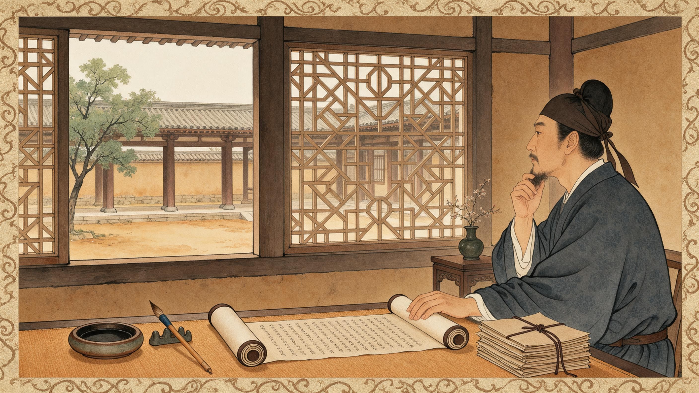
The book is Huang Bian's Yitong Lucheng Tuji, “A Unified Record of Routes and Distances,” printed in 1570. Its author came from Xiuning in Huizhou, a mountain prefecture where, he writes, “the land is narrow and the people many; most households take to trade.” As a young man he travelled with his father and brothers from Hongdu to Changsha, down the Yangzi, up the Huai and the canal to the capital; on the road he was “bitterly plagued by having to ask the way,” and feared that others would be stranded at the same forks. Later, living in the Wu region and trading with merchants from the two capitals, the thirteen provinces and the frontier, he collected several route books, compared them, corrected them, and after twenty-seven years produced eight juan: the two capitals to the thirteen provinces, the provinces to their prefectures, the frontier roads, and the waterways north and south. What they give is the road, the distance and the dangers. What they do not give is a price.
How to read one road
The Beijing–Nanjing line is read by following the names: out of the Huaitong hostel, through Zhuozhou, Hejian and Dezhou, across the Yellow River at Xuzhou, then Suzhou (宿州), Fengyang and Chuzhou, and finally by boat from Longjiang station into the Southern capital. The book marks where the mode changes — from Nanji to Changshan county it is all water, and from Changshan to Shuikou station “water and horse both serve.” Beyond Nanjing the same line runs on into Zhejiang and Fujian: Zhenjiang, Changzhou, Suzhou (苏州), Jiaxing, Hangzhou, then upriver past Yanzhou and Quzhou and over the Xianxia pass to Fuzhou. No scenery, no anecdotes — but the names are the itinerary.
It also says plainly that this is only one of the ways. “From the two capitals to Jiangxi there are four roads; this is one of them.” Where several roads serve one destination, the book lists them side by side, and the choice depends on the cargo, the season, and whether the road is quiet. The value of a merchant's handbook is not that a road exists but that several do, and that each is set down.
How distance is recorded
Distances are the spine of the book, and they are stated flatly. From the Tong Pass and the Shaanxi plank road, 4,320 li to Chengdu; from Jingmen and Huangzhou, 4,580 li to Chengdu. Feng county to Baocheng 420 li; Baocheng to Chaotian station in Sichuan 440; the Great Sword Pass to Jianzhou 80. Along the northern frontier the post road from Shanhaiguan to Shunyi runs sixteen stages, “each stage sixty li”; the frontier road as a whole runs “from Kaiyuan guard in the east to Jiayu Pass in the west, over seven thousand li.” Beijing to the old Kaiping guard, 750 li; to the old Daming guard, 800. One caution: the sixty li is the rule for that one stretch of post road, not a national standard; and the li stays a li, with no conversion into kilometres.
What to guard against
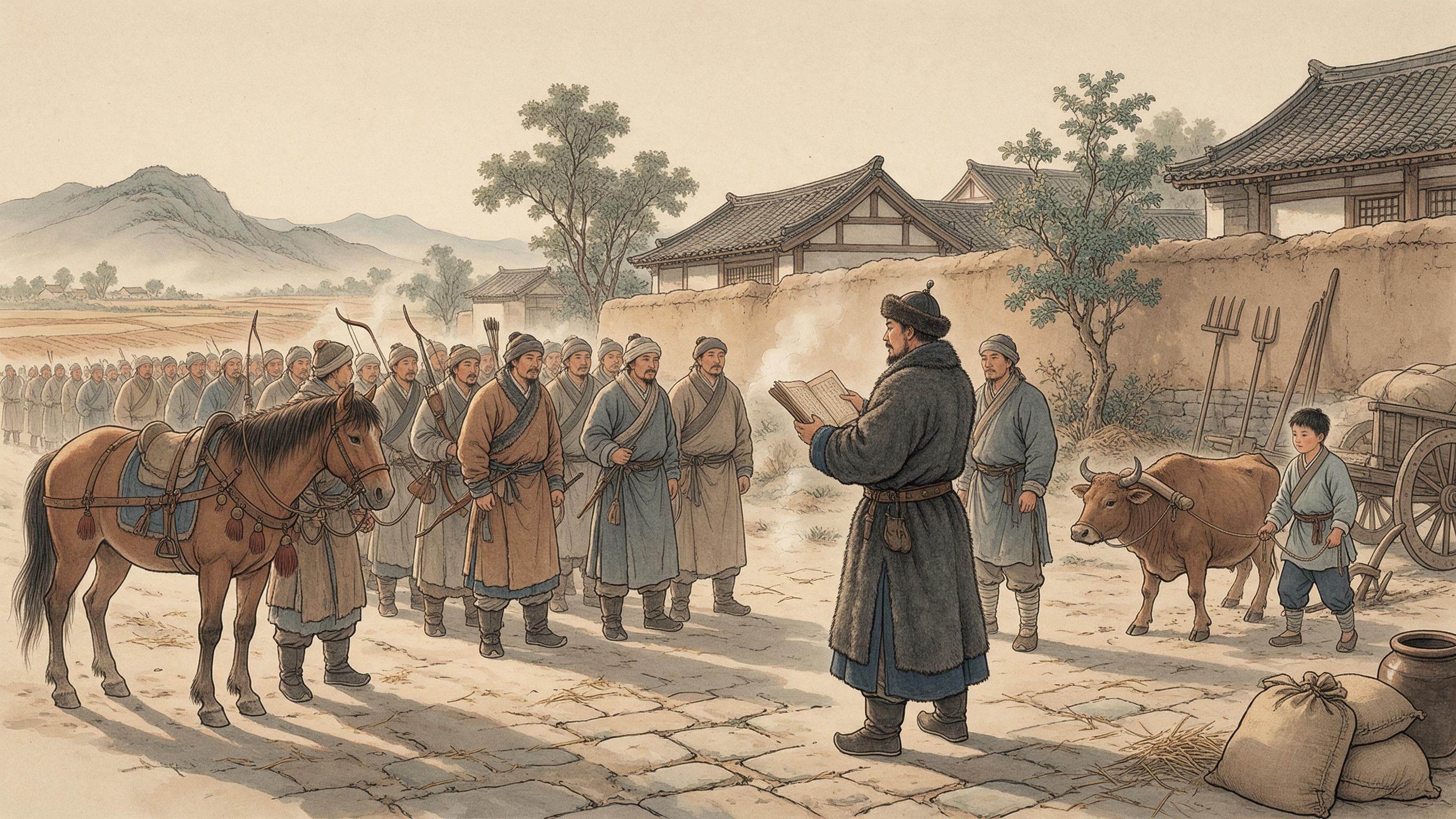
The preface promises that a reader who opens the book will know “the distances of the roads, the steepness of mountains and rivers,” and whether storms or bandits lie in wait. The warnings are specific: from Beijing to Xuzhou, mounted bandits come out from time to time, and one must defend against them; on the Liaodong road, “from Liaoyang to Shanhaiguan there are often stray raiders, and watchtowers are there to guard against them.” Of Shanhaiguan the author adds that the pass is “extremely strict,” held by a ministry official — it was set up, he says, by the duke of Wei, Xu Da.
The Shaanxi plank road is the opposite case: from Feng county 420 li to Baocheng, “tall trees line the way; there are leopards and tigers but no bandits,” and where the road gives out, “timber is laid across to make a way like a bridge — that is the plank road.” Lodging is not an inn with a sign: “along the way there are shop-huts and rock caves where one can sleep, and some carry a cauldron and cook,” keeping a fire for whoever comes next. Tigers and bandits are two different risks, to be guarded against differently.
The frontier roads are not trade roads
Juan four is a different kind of text. It records the frontier roads: from Kaiyuan guard through Liaoyang and Guangning to Shanhaiguan; the Ji prefecture line, where “the passes and stockades are built against the hills, uneven, hard to measure in li,” though its post road still runs “from Shanhaiguan to Shunyi, sixteen stages, each sixty li”; then the inner and outer passes, Xuanhua and Datong, and Shaanxi out to Jiayu Pass. The page is crowded with passes, forts, stockades, watchtowers and walls, and thin on anything a merchant would want. The section ends by giving its purpose away: “the frontier road runs from Kaiyuan in the east to Jiayu Pass in the west, over seven thousand li; the dynasty's guard between the civilised and the outer peoples is indeed a weighty matter.” This is a military record, not an itinerary.
What the book leaves out
What it leaves out matters as much. There is no cart fare, no boat fare, no charge for a night's lodging, and no mention of the travel permit a Ming subject was supposed to carry — the book does not discuss permits at all, and this article will not supply the statute from memory. It is not a map of all Ming transport, only a merchant's handbook of the routes merchants used. The characters need care too: the text mixes 驲 and 驿 for post station, writes 蜜云 for 密云, and slips between 开元 and 开原. And the digital catalogue lists the author as unknown, though the preface is signed by Huang Bian of Xin'an in the fourth year of Longqing and the first juan is signed “compiled by Huang Bian of Yueshan, Xiuning, Xin'an.” The preface is the better witness.
The book's own claim is at once modest and large: open it, and “the nine provinces lie in the palm of your hand.” It was written by a man who had been lost on the road, for the people about to set out on it.
Sources & further reading
- 黄汴《一统路程图记》卷首·序及目录(明隆庆四年,识典古籍) — The preface by Huang Bian of Xin'an, fourth year of Longqing (1570): Xiuning in Huizhou, narrow land and many people, most households trading; twenty-seven years of collecting and collating route books; eight juan, from the two capitals to the thirteen provinces, the frontier roads, and the waterways north and south.
- 黄汴《一统路程图记》卷一·北京至十三省水陆(识典古籍) — The Beijing–Nanjing route station by station from the Huaitong hostel to Longjiang station; where water replaces horse; 4,320 li from the Tong Pass plank road to Chengdu and 4,580 from Jingmen; Feng county to Baocheng 420 li, Baocheng to Chaotian 440, the Great Sword Pass to Jianzhou 80; the plank road's trees, tigers and rock-cave shelters.
- 黄汴《一统路程图记》卷四·各边路(识典古籍) — The frontier roads: Kaiyuan guard to Shanhaiguan; the Ji prefecture line with its sixteen post stages of sixty li each; the frontier road as a whole over seven thousand li from Kaiyuan to Jiayu Pass; Beijing to the old Kaiping guard 750 li.